
Ellijay sits where mountain rivers meet, with national forest on the ridges above and a big Corps of Engineers lake to the southwest. That makes it a good base for outdoor activities near Ellijay, GA, whether your idea of a great day is a long hike, an hour on the water or a picnic with a view. This guide is a set of our own picks, not a ranking. We grouped them by activity and added the planning details that make the difference on the day: how hard, how long, which season, and what to check first.
We run Mountain Memories and Shady Pines, two cabins inside Coosawattee River Resort, and a lot of our guests come for the outdoors. Every distance, fee and rule below is sourced from the agency or organisation that manages the place, and linked so you can re-check it — because these things do change, and a couple of them changed recently.
Outdoor activities near Ellijay GA at a glance
| Activity | Good for | Typical season | Plan ahead for |
|---|---|---|---|
| Easy nature walks | Families, all ages | Year-round | Trail conditions after storms |
| Day hikes | Active groups | Spring and fall are most comfortable | Maps, water, an early start |
| Waterfall visits | Most visitors | Spring, after rain | $10 state-park parking; rough forest roads |
| Lake days | Families, groups | Late spring to early fall | $5 day-use fee, card only |
| River tubing and paddling | Teens and adults | Memorial Day to Labor Day | Water levels; outfitters close after Labor Day |
| Fishing | Beginners to experienced | Trout waters are open year-round | A fishing licence and a separate trout licence |
| Orchard walks | Families | Late August through October | Weekday vs weekend admission |
How to choose the right outdoor day for your group
The most enjoyable outdoor days usually come from matching the plan to the people, not from fitting in as much as possible. A few questions help narrow things down:
- Who is coming? Toddlers, teenagers and grandparents enjoy different things. A short lakeside loop and a picnic can be a better day for a mixed group than a long summit hike.
- How much driving is everyone willing to do? Activities close to Ellijay leave more time outside. Trailheads deep in the national forest often mean slow gravel roads — the Appalachian Trail Conservancy warns that the forest roads toward Three Forks "can be quite rough, and may be impassable by car or van in winter or very wet weather."
- What's the weather doing? Rain makes waterfalls better and hikes muddier. Hot afternoons are a good fit for the river or the lake.
- Does anyone need a rest day? Build one in. Time on the deck counts as an outdoor activity too.
For bigger groups, splitting up works well. One crew heads for a long hike while another takes an easy walk or an orchard visit, and everyone meets back up for dinner. If your group is staying across both cabins, it's easy to go separate ways during the day and still share the evening.
Hiking near Ellijay
The mountains around Ellijay have trails for nearly every pace. Before choosing one, think about the slowest walker in your group and how much of the day you want to spend driving.
Easy walks and nature trails
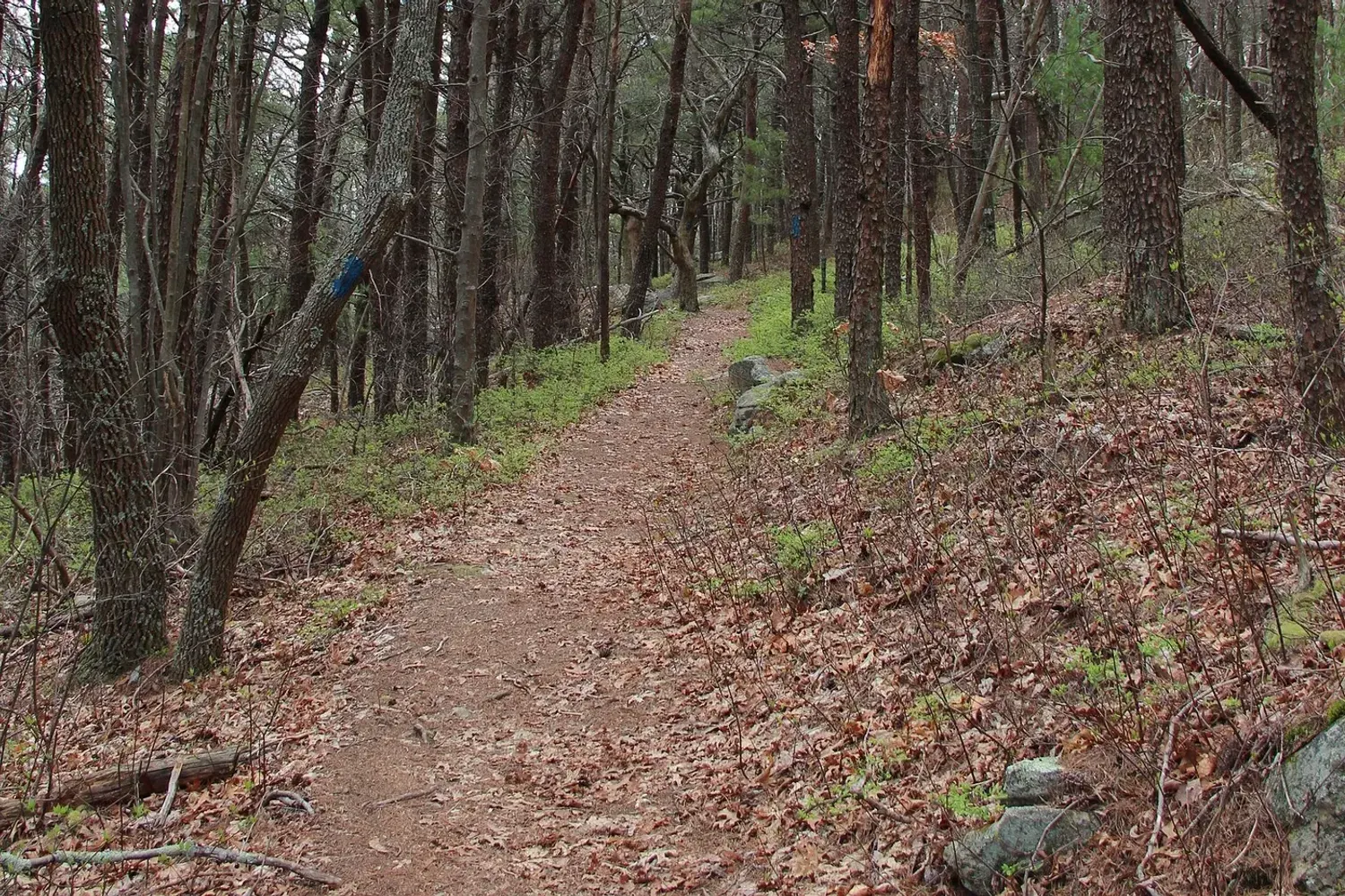
If you want fresh air without a big climb, start around Carters Lake. The Corps of Engineers maintains hiking trails at Harris Branch and Ridgeway Park, with interpretive trails at Ridgeway and the re-regulation dam, and mountain-bike trails at Ridgeway. The Corps doesn't publish mileages for them, so treat them as short signed loops close to parking rather than planning a day around a distance.
At Fort Mountain State Park the easiest real trail is the Big Rock Trail, a 0.5-mile loop the park rates at about an hour on foot. It drops from the ridgeline near the lake into a mountain hollow, crosses a dividing ridge and comes back up Gold Mine Creek past several small cascades. The Lake Trail is a 1.2-mile loop around the park's 17-acre lake, also about an hour, open to bikes as well as walkers — bikers are asked to yield.
Short lakeside walk
- Area: Carters Lake, southwest of Ellijay
- Season: Year-round
- Good for: Families, slow mornings
Pick a short marked trail, pack a snack and stop at the water's edge. Day use is $5 per vehicle at the fee machine, card only.
Bigger day hikes
Bear Creek Trail — Gilmer County. This is the closest serious trail to Ellijay, and the Forest Service rates it moderate because of stream fords, narrow tread and some steep sections. The headline attraction is the Gennett Poplar, which the Forest Service describes simply as "an immense, old growth poplar standing alongside the trail." Two loops are published: an outer loop of 6.7 miles (follow the trail to its end at Barnes Creek road, right for 3.5 miles, then right on the trail for half a mile back to the parking area) and a lower loop of 3 miles (take the right fork just past the poplar, then turn right on Barnes Creek road). From the upper trailhead it's a 0.5-mile spur to Barnes Creek road, then about 1.5 miles to the start of the single track. It's open year-round, it's free, and there's no water on the trail. Two cautions from the agency itself: it's multi-use and shared with mountain bikers, and "all listed roads are open to motorized travel as well." The Bear Creek campground is walk-in only — no pop-ups or RVs. Forest Service trail page
You'll see the Gennett Poplar called the second-largest tree in Georgia, with specific heights and girths attached. The Forest Service publishes none of that, so we're not repeating numbers we can't source.
The Benton MacKaye Trail. The Benton MacKaye Trail Association puts the trail's current official length at 287.6 miles, of which 81.8 miles are in Georgia. It runs from Springer Mountain — the same southern terminus as the Appalachian Trail — north to Big Creek in Great Smoky Mountains National Park, passing through the Cohutta and Big Frog wilderness areas on the way. Look for a white diamond blaze, 5 inches across by 7 tall. The Forest Service counts 16 trailheads and access points in Georgia, so day-hiking a section is very doable from a cabin base.
Fort Mountain State Park. The park covers 4,058 acres at about 2,850 feet of elevation, and its own trail map publishes real numbers:
| Trail | Distance | Park's estimated time | Notes |
|---|---|---|---|
| Big Rock Trail | 0.5-mile loop | 1 hour | Foot traffic only; small cascades |
| Stone Tower Combo | 0.9-mile loop | 1 hour | Stone steps; year-round views from West Overlook |
| Lake Trail | 1.2-mile loop | 1 hour | Shared with bikes |
| Upper Cabin Combo | 1.6-mile loop | 1¼ hours | Watch for bikes on the Lake Trail section |
| Gahuti Trail | 8.7-mile loop | 5 hours | Backcountry; camping by permit only |
| 301 Biking Trail | 14.6-mile loop | 4 hours by bike | Max grade 25%; 20% ascending in the last 3 miles |
The park's draw is the stone wall: 855 feet long running east to west, varying from two to six feet high, with 30 "pits" built into it, on a site the park says offers 80-mile views. Nobody knows who built it. The park's own map lays out the competing theories — Native Americans around 500 A.D., Welsh explorers in the 14th century, the "Moon Eyes" of Cherokee legend, or de Soto's Spanish — and concludes that "since no artifacts have been found to support these theories, no one knows who built the 'wall of stones.'" Nearby is a stone fire tower built by the Civilian Conservation Corps. There's also a seasonal sand swimming beach on the lake, and more than 25 miles of horse trails with loops from 3 to 16 miles (register at the stables; permits required for all equestrian and backcountry use).
The Cohutta Wilderness. For experienced hikers wanting a long, remote day. The Forest Service describes 37,000 acres with 90 miles of hiking and backpacking trails, two of which follow the Jacks and Conasauga rivers; the federal wilderness database gives the precise figure as 37,440 acres and calls it Georgia's second-largest wilderness, designated by Public Law 93-622 in January 1975 and enlarged in 1986. No permits are required to hike or backpack, and there's no fee. Things to know before you drive out:
- Three Forks, Betty Gap, Chestnut Lead and Tearbritches trailheads are open early March through December 31 only, because of winter road closures. The trails stay open but need a different trailhead.
- The Beech Bottom / Jacks River Falls area is day use only from April 1 through October 31, with a year-round campfire and alcohol ban in that closure area.
- No camping in trailhead parking lots.
- There's no potable water.
- The Forest Service sells a $5 Cohutta/Big Frog Wilderness map and strongly recommends buying it. There's no complete online trail list — this is the one place where paper is genuinely better.
- Closures move around. At the time of writing, Rough Ridge Trail 12 was closed, along with intermittent closures at the Emery Creek trailhead and temporary closures on Old CCC Camp Road / Forest Service Road 18. Call Conasauga on 706-695-6736 before you commit.
Cohutta Wilderness trailheads, Forest Service
Trail safety basics
- Download offline maps. Cell service can drop out completely on forest roads.
- Bring more water than you think you need. Several trails here, Bear Creek among them, have no water at all.
- Tell someone your plan, including the trail and when you expect to be back.
- Turn around early if weather moves in. Afternoon thunderstorms are common in summer.
- Wear shoes with grip. Roots, rocks and creek fords get slick.
Waterfalls near Ellijay GA
Waterfalls are some of the most rewarding outdoor stops in North Georgia. They flow hardest in spring and after a good rain, and they can slow to a trickle in a dry late summer.
Amicalola Falls
Amicalola Falls State Park — 418 Amicalola Falls State Park Road, Dawsonville, GA 30534 · 706-344-1500
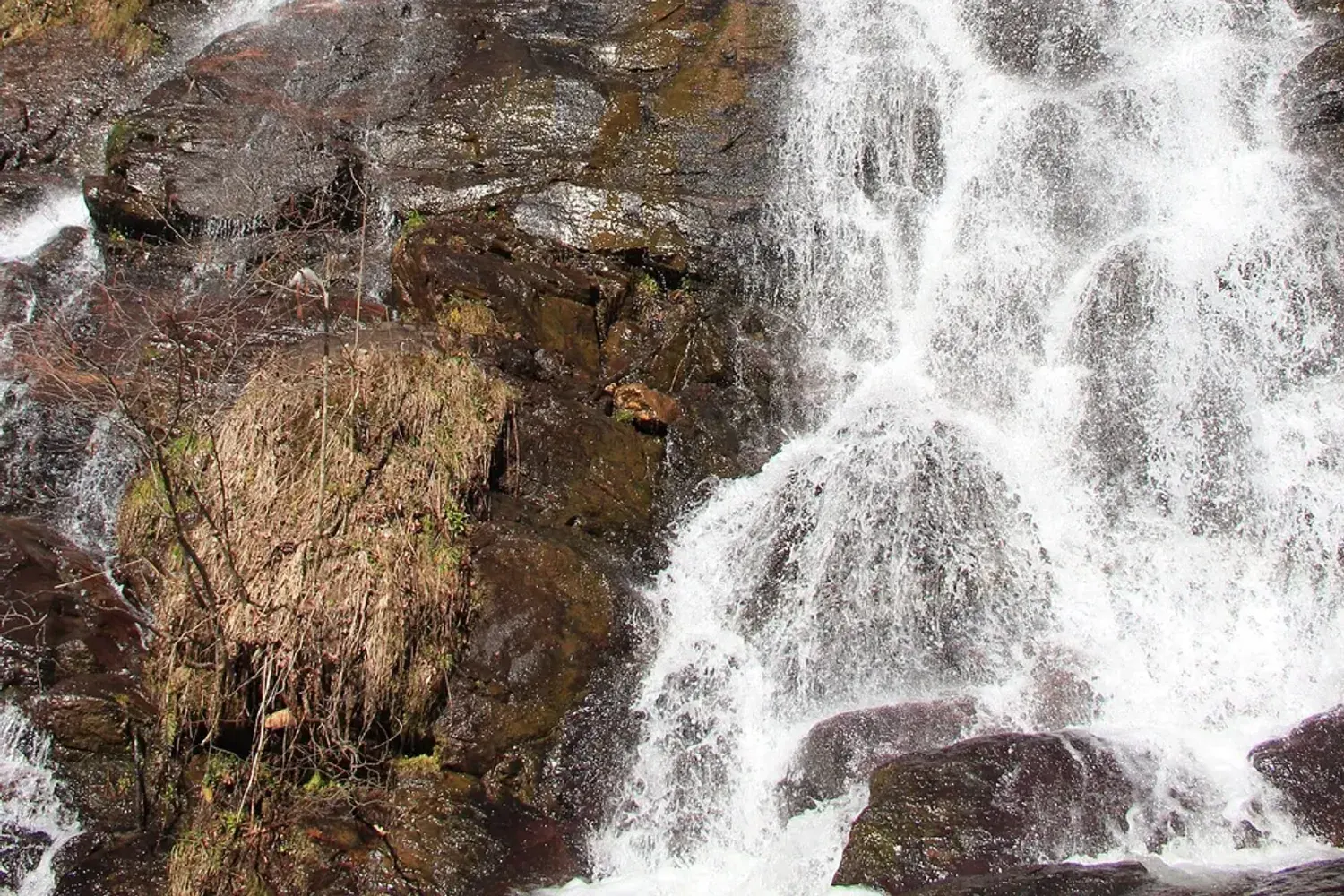
The park calls Amicalola 729 feet with seven cascades, the tallest waterfall in Georgia and the third-tallest cascading waterfall east of the Mississippi. The name comes from Cherokee and "roughly translates to 'Tumbling Water.'" The park was established in 1940, sits within the Chattahoochee National Forest, and is only 8 miles from the Appalachian Trail.
How to see it:
- The staircase. A staircase descends 425 steps between the upper and lower viewing areas. (You'll see "604 steps" repeated all over the internet; the park's own site doesn't say that, so treat 425 as the number.)
- Amicalola Falls Loop Trail — a 2.1-mile loop, per Georgia State Parks.
- The guided waterfall hike — about 1.5 miles and 1.5 hours, rated moderate to strenuous "due to trip hazards, steep inclines, and an optional but recommended 175 stairs."
- The Approach Trail — about eight miles from the park to Springer Mountain, the southern terminus of the 2,193-mile Appalachian Trail. Ten trails in total radiate from the park.
⚠️ The East Ridge Trail is currently closed for maintenance according to the park, with no reopening date given. Check before you plan around it.
Parking is the standard Georgia State Parks fee: $10 per vehicle, per day (see below).
Fall Branch Falls
A short one, and the easiest waterfall payoff in the area. The Benton MacKaye Trail Association puts it at 0.5 miles one way — or 6.2 miles one way if you continue to Weaver Creek Road — on BMT Section 6, rated easy to intermediate, with leashed dogs allowed. You descend to a viewing platform at the bottom of the falls, where the water comes down a 100-foot rock cliff through mountain laurel and rhododendron. The trailhead is on Stanley Creek Road at BMT mile 39.8 (N34° 47.048, W84° 18.113). Maps are available at the Fannin County Welcome Center in Blue Ridge.
Long Creek Falls
The Appalachian Trail Conservancy describes the Three Forks to Long Creek Falls hike as 1.8 miles total, rated easy: at 0.8 miles a blue-blazed trail leads left for 0.1 mile to the falls, which the ATC calls a 25-foot waterfall. Three Forks is where the Appalachian Trail crosses Forest Service Road 58 and where Stover, Long and Chester creeks come together.
Getting there is the hard part, not the hiking. The ATC's own directions run from GA 52 onto Forest Service Road 28, then 2.2 miles to a fork, left onto FS Road 77 for 5.1 miles, straight across FS 42 at the ridge and downhill on FS 58 about 2.5 miles. Their warning is worth quoting: Forest Service roads "can be quite rough, and may be impassable by car or van in winter or very wet weather." Call the Blue Ridge Ranger District on 706-745-6928 for current conditions.
One honest note: the BMTA describes the same falls as a "50-foot high sheer rock cliff" while the ATC says 25 feet. Both are authoritative. We've quoted the ATC's figure and flagged the disagreement rather than pick a winner.
Jacks River Falls
Real, and genuinely remote, deep in the Cohutta Wilderness. It's reached via the Beech Bottom Trail, and the area is day use only from April 1 through October 31 with a year-round campfire and alcohol ban. For scale on what wilderness hiking here involves: the federal wilderness database notes that the 15.7-mile Jacks River Trail "passes through water no less than 40 times."
The Forest Service publishes no page for the falls, no height and no trail mileage to them, which is why we aren't giving you a number — the figures circulating online aren't from an official source. Buy the $5 Cohutta map or call Conasauga on 706-695-6736. This one is for experienced hikers with river-crossing sense, not a casual afternoon.
Georgia State Parks fees, as of 2026
Both Amicalola Falls and Fort Mountain are Georgia State Parks, so the statewide ParkPass applies:
- $10 per vehicle, per day. This went up from $5 on January 1, 2026 — the first increase in 16 years.
- $70 annual ParkPass, valid 12 months from purchase.
- Age 62 and over: $35. Active military and veterans: $52.50. Both discounts must be bought in person.
- Vans of 13–30 passengers: $50 daily, $90 annual. Buses of 30+: $100 daily, $275 annual.
- Park passes are not valid at state historic sites.
If you're visiting two parks on one trip, or coming back later in the year, the annual pass pays for itself quickly.
Lakes near Ellijay
Carters Lake
Carters Lake is the big lake closest to Ellijay — a U.S. Army Corps of Engineers reservoir at the southern end of the Blue Ridge Mountains, with forested shoreline, boat ramps, campgrounds and day-use areas. Several of its facilities carry Ellijay addresses, which tells you how close it is: the Woodring campground is at 5026 Woodring Branch Road, Ellijay, and the Harris Branch beach at 1300 Harris Branch Road, Ellijay.
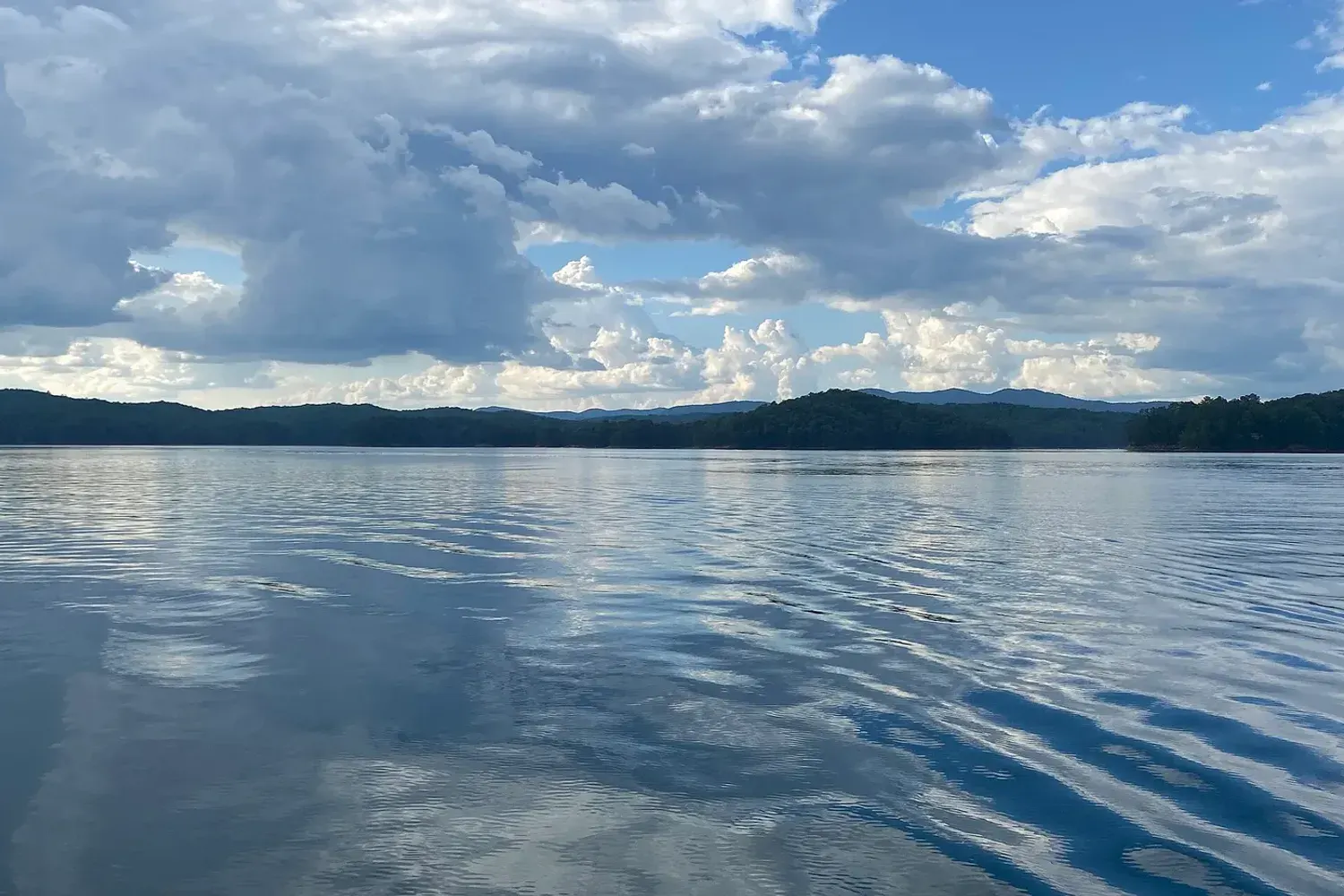
Day use is $5 per vehicle, paid at an automated fee machine. The Corps is explicit about this at the Damsite: "All vehicles must pay a $5.00 day use pass (Card only, no cash)." The same $5 machine fee applies at Doll Mountain, Woodring and Northbank. Qualifying America the Beautiful federal passes may give you a benefit at eligible day-use areas, though the benefit varies and doesn't cover camping.
Boat ramps, per the Corps' own listings:
- Damsite — three-lane launch ramp with courtesy dock, picnic sites and restrooms
- Doll Mountain — two-lane ramp, picnic sites, restrooms and a fishing pier
- Woodring Branch Day Use Area — two-lane ramp with courtesy dock
- Woodring Campground — two ramps, with limited boat-trailer parking
Swimming. There's a swimming area at the Woodring campground, and the Harris Branch Beach Recreation Area is a designated swimming beach operated by FIND Outdoors in partnership with the Corps. When open, it runs 9:00 AM to 8:00 PM Saturdays, Sundays and holidays, and 9:00 AM to 6:00 PM Mondays, Tuesdays, Thursdays and Fridays — closed Wednesdays for maintenance and mowing, and no overnight camping. It closes for the winter, and the next season's opening dates aren't published yet, so check FIND Outdoors before you load the cooler.
Camping, bookable through Recreation.gov: Doll Mountain $26 to $100 a night (spring through fall), the Woodring campground $20 (seasonal), and the Woodring Branch primitive loop $10 and currently open year-round. Day-use picnic shelters at the Damsite, Doll Mountain, Woodring, Northbank and Rereg Dam run $30 to $50. The project office is on 706-334-2248; Woodring Branch is 706-276-6050, Doll Mountain 706-276-4413 and the Harris Branch beach 706-276-4545.
Other planning notes:
- Swim only where it's marked. The designated areas are Harris Branch and the Woodring campground.
- Life jackets are a must for kids and anyone paddling.
- Bring shade and water in summer. Exposed shoreline gets hot by midday.
- One correction worth carrying with you: Carters Lake Marina & Resort is a private operation on the lake, not its manager, and it has no beach, campground or day-use area of its own. Several local tourism pages get this backwards. For swimming, camping and hiking you want the Corps parks above.
More lakes for a day trip
Lake Blue Ridge, to the north, is another popular lake day and pairs easily with a stop in the town of Blue Ridge — the railway depot, Mercier Orchards and the lake all sit within a few minutes of each other. If you're planning a full day out, pack lunch in a cooler so you can stay by the water.
River tubing, kayaking and paddling
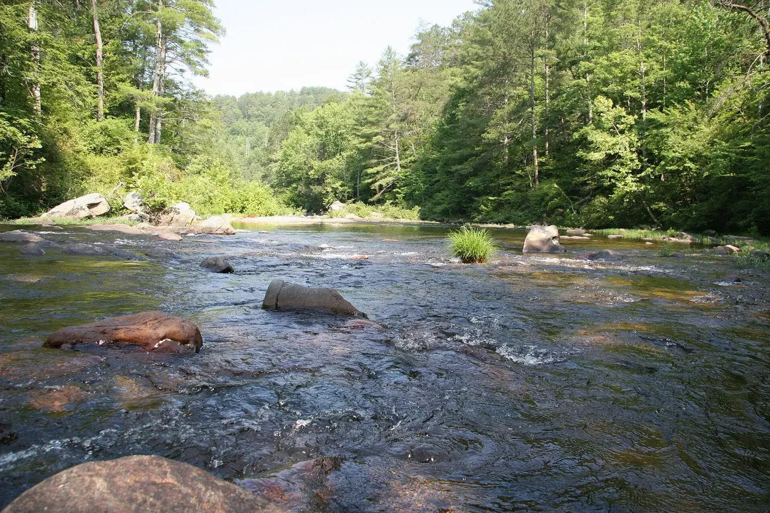
The Cartecay and Coosawattee rivers are central to summer around Ellijay.
Cartecay River Experience — 2400 Highway 52 East, Ellijay · 706-531-4746 — is the one local river outfitter the Gilmer County Chamber lists. Their published season is Memorial Day to Labor Day, with shoulder weekends weather-dependent, and hours of Saturday 9:00 AM to 4:00 PM and Sunday through Friday 10:00 AM to 3:00 PM. Rates: kayaks $30 cash or $34 by card, tubes $15 cash or $18 by card, shuttle-only $7 cash or $10 by card, with $2 off per person for cash customers in the first hour on weekends. No reservation needed — in their words, "We'll see you at the river." They run two put-ins, an Adventure River trip from Lower Cartecay and a weekdays-only Lazy River trip from the Highway 52 office.
If you're visiting outside that late-May-to-early-September window, plan on the river rentals being shut.
What the Cartecay actually runs like
American Whitewater rates the middle Cartecay — Lower Cartecay Road to Stegall Mill Road, 2.3 miles — as Class I–II+ with a III, with named rapids including Sexton's, the Rock Garden, a surfing wave, S-Turn and Blackberry Falls. Two of those change character with the water: S-Turn is Class II at normal levels but Class III at four to six feet, and Blackberry Falls goes from Class II to III or III+ above four feet. The longer lower section, Stegall Mill Road to the DNR takeout, is 4.6 miles at Class II with a III.
Two practical warnings from the same source. First, most of this stretch runs through a residential area, there are no restrooms once you put in, and most of the banks are private property. Second, the Mulkey Road takeout parking lot is closed Friday through Monday from May 15 to September 15 — exactly the summer weekends you'd want it.
- Check the gauge, not the forecast. The USGS maintains a live gauge, Cartecay River near Ellijay (02379500), with continuous streamflow going back to 1937. It's at the East Ellijay city limits on Highway 52. The Coosawattee gauge near Ellijay is no longer reporting continuously, so the Cartecay one is the number to watch.
- Ask about age and swimming requirements for kids when you arrive.
- Wear water shoes that stay on your feet, not flip-flops.
- Pack a dry bag for phones and keys.
Fishing near Ellijay
The rivers, creeks and lakes around Ellijay give anglers plenty of options — but Georgia's licensing catches people out, so start there.
Licences: trout is a separate purchase
This is the single most common mistake visiting anglers make. Per Georgia DNR, basic fishing privileges cover fresh and salt water except mountain trout. If you want to fish for or even possess trout and you're 16 or over, you need a trout licence in addition to a fishing licence. From DNR's published price list:
| Licence | Term | Resident | Non-resident |
|---|---|---|---|
| Fishing | Annual | $15 | $50 |
| Fishing | One day | — | $10 |
| Fishing | Each additional day | — | $3.50 |
| Trout | Annual | $10 | $25 |
| Trout | One day | $5 | $10 |
| Trout | Each additional day | $1 | $2 |
| Sportsman's (includes trout) | Annual | $65 | $400 |
| Senior Sportsman's (65+) | Annual | $7 | — |
Anglers 15 and under need neither licence. There's a $3.00 online transaction fee, and a physical hard card is an optional $6.00. The licences line is 800-366-2661. These are the rates on Georgia DNR's published price list, stamped "Updated May 2025" — the current official file, though worth a glance before you buy.
Trout water rules
- Season: all designated trout waters are now open year-round, per Georgia's official regulations.
- Daily creel limit is 8 brook, rainbow or brown trout, or hybrids, with exceptions on specific waters including Amicalola Creek, the Chattahoochee, the Chattooga, Smith Creek and the Toccoa.
- Five delayed-harvest streams — Amicalola Creek, the Chattahoochee, the Chattooga, Smith Creek and the Toccoa — run under special rules November 1 to May 14: release all trout immediately, and artificial lures with single hooks only.
- Stocking runs on 160 streams from late March through October, with regular stockings until Labor Day.
- Some waters carry size minimums. Noontootla Creek and its tributaries on the Blue Ridge WMA are 16-inch minimum, artificial lures only.
Georgia trout fishing regulations · DNR general line 706-557-3333
Where to fish
- Trout: cold mountain streams in the Chattahoochee National Forest. Bear Creek, which the trail above follows, is one; the Cohutta's Jacks and Conasauga rivers are the remote option.
- Lake fishing: Carters Lake, which the Corps lists for fishing along with camping, picnicking, boating and hunting. Doll Mountain has a fishing pier if you'd rather not launch a boat.
- River fishing: the Cartecay and Coosawattee offer wade and bank fishing in the right conditions.
- Close to the cabin: Coosawattee River Resort's Canoe Park is set up for fishing from the river's edge, and the resort notes that Georgia licences are required there. The Beaver Lake pond inside the resort is catch-and-release and, per the association, open to owners and guests "requiring no fishing license" — the one place nearby where you can hand a kid a rod without a trip to the licence desk.
Family outdoor activities in Ellijay
Not every outdoor day needs a summit. Some of the easiest wins for families:
- Orchard visits with room to walk, pick and snack — U-pick runs from late August through October, and weekday admission is roughly half the weekend price. See our guide to things to do in Ellijay for each farm's hours and prices.
- Short trails that end at a creek or overlook. Fort Mountain's half-mile Big Rock loop passes small cascades and takes about an hour.
- A picnic by the water at a Carters Lake day-use area — $5 per vehicle, or reserve a shelter from $30.
- The stone wall and CCC tower at Fort Mountain, on a 0.9-mile loop with stone steps and 80-mile views on a clear day.
- Stargazing from the deck. On clear nights away from city lights, the sky is a show of its own.
- Wildlife watching. Deer are regular visitors at both cabins.
Seasonal planning for outdoor trips
Spring
Waterfalls are full, wildflowers line the trails and temperatures are comfortable for longer hikes. Trails can be muddy, so pack a change of shoes. Note that the Cohutta's Three Forks, Betty Gap, Chestnut Lead and Tearbritches trailheads don't open until early March, and the delayed-harvest trout rules run until May 14.
Summer
Lake days, river tubing and evening grill-outs. The river outfitter runs Memorial Day to Labor Day and the Harris Branch beach is open; start hikes early to avoid heat and afternoon storms, and bring bug spray.
Fall
Cool, dry hiking weather and changing leaves, plus apple season in town. The Georgia Apple Festival takes over two October weekends, so trailheads and orchards are busiest then — go early or pick weekdays.
Winter
Quiet trails and long views through bare trees. Several Cohutta trailheads close after December 31 for winter road closures, the Harris Branch beach is shut, and high-elevation forest roads can be icy or impassable. The Woodring Branch primitive campground stays open year-round, and so do the trout streams.
Leave No Trace and wildlife
The mountains around Ellijay are home to deer, wild turkeys and black bears. A few habits protect the animals and your trip:
- Pack out everything you bring in, including food scraps.
- Never feed wildlife. It harms the animal and teaches it to approach people.
- At the cabin, keep food and trash indoors and keep the grill lid closed.
- Give bears plenty of space. If you see one, stay calm, keep your distance and let it move along.
- Don't camp in trailhead parking lots — it's specifically prohibited at the Cohutta trailheads.
A gear checklist for an outdoor weekend
- Day pack, water bottles and snacks — several trails here have no water source at all
- Rain jacket and a warm layer, even in summer
- Shoes with good grip, plus water shoes for river fords
- Offline maps, and the $5 paper Cohutta map if that's where you're headed
- A card for the fee machines at Carters Lake, which don't take cash
- Sunscreen, bug spray and a hat
- Life jackets for kids if you'll be on the water
- A cooler for orchard finds and lake picnics
- A fishing licence and a trout licence if you plan to fish for trout
Make the cabin your trailhead
After a day outside, the reward is coming back to a place where everyone can spread out. Both AnJo cabins sit inside Coosawattee River Resort, and the on-site recreation is genuinely useful on a rest day: an enclosed heated Junior Olympic pool open year-round from 6:00 AM, a fitness centre, 18-hole mini golf, tennis, basketball and pickleball courts, a game room, two seasonal outdoor pools and four river parks. Guests need an RFID amenity pass — see our Ellijay guide for how those work.
Two cabins. One getaway. If your outdoor crew is bigger than one cabin, book both for up to 16 guests about a mile apart.
Plan your outdoor trip to Ellijay
Pick one bigger adventure a day, leave room for an easy afternoon, and call the managing agency before you drive to a trailhead — closures here are frequent and rarely well advertised. For more ideas beyond the outdoors, read our complete guide to things to do in Ellijay or browse the Explore Ellijay section.
If you have questions about the cabins or planning a group trip, reach out. We're happy to help.